

One of America’s most unique neighborhoods.
History. Beauty. Community.
Missionary Ridge is a 7-mile long, 500-foot high mountain, neighborhood, and National Park that frames the eastern edge of downtown Chattanooga, Tennessee.


Events
The unique geography of the Ridge makes for an equally-unique melting pot of Chattanoogans that loves coming together and celebrating our special slice of the American South.
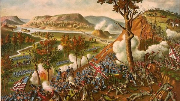
Missionary Ridge has played a significant role in the history of our city, our state, and the American Civil War.
History of the Ridge
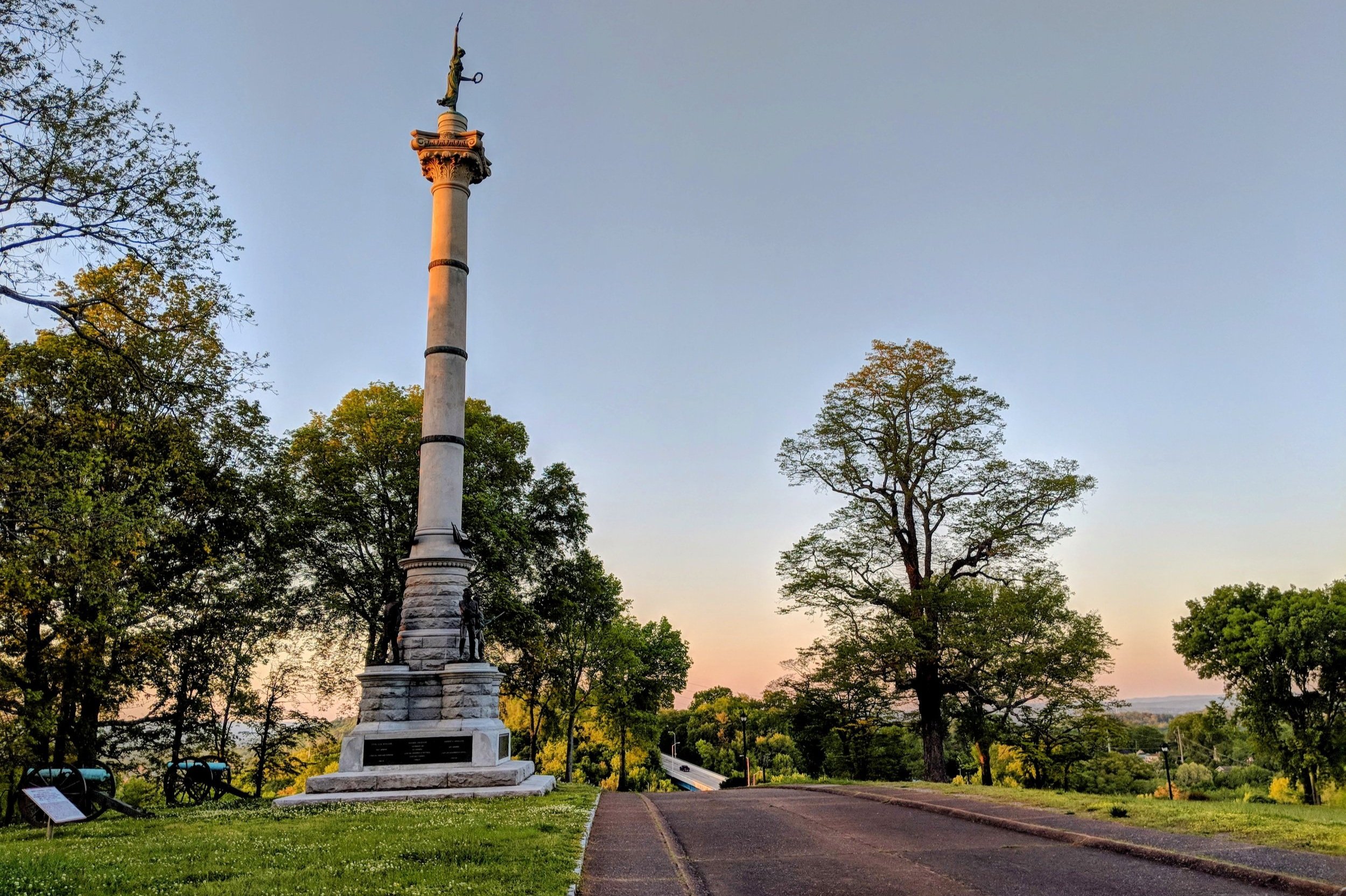
Beauty
Unsurpassed beauty in every direction is simply a part of the Missionary Ridge experience.
Join us.
Our community thrives on the participation of our residents and neighbors.
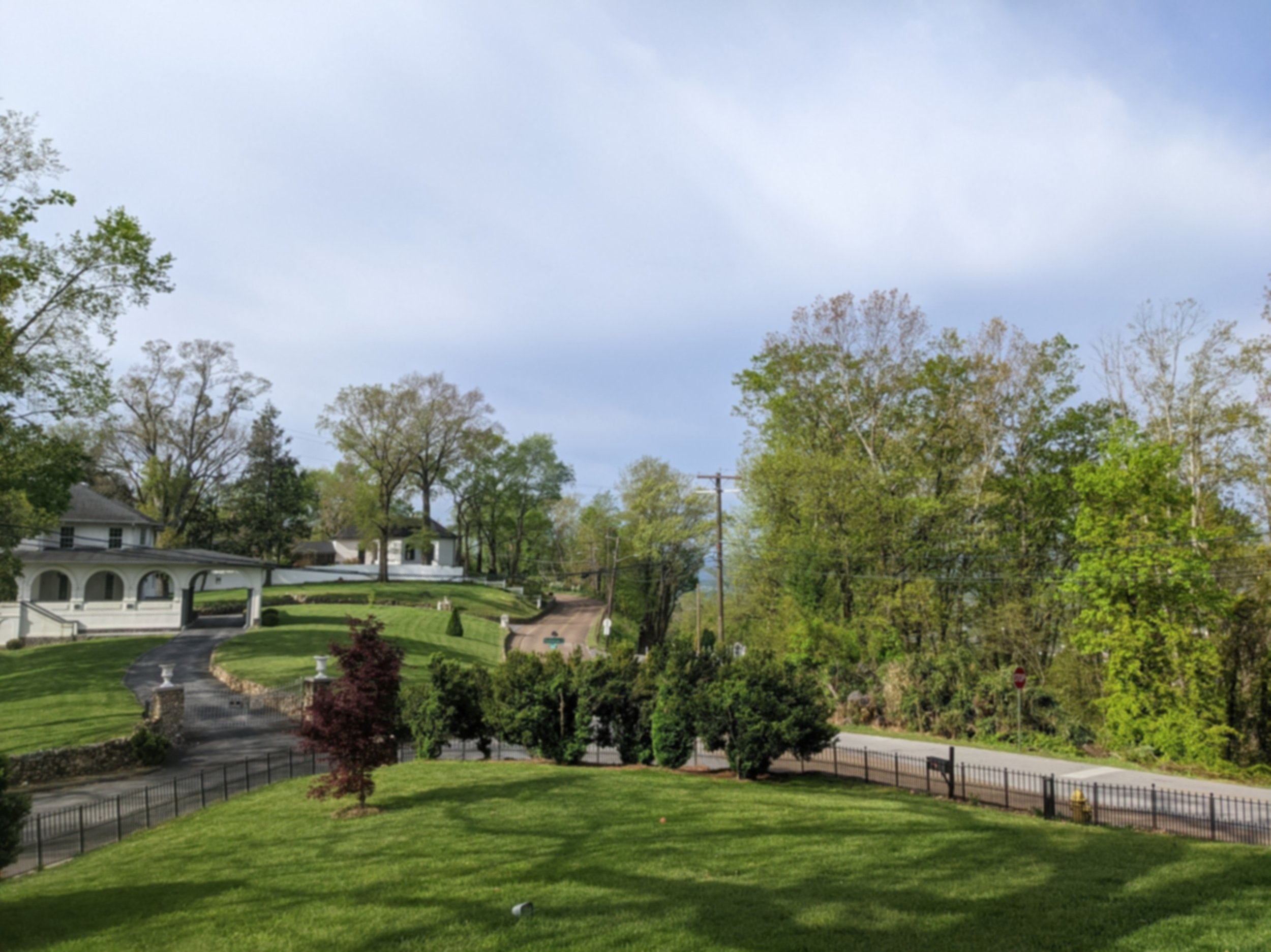
Part neighborhood, part National Park - Missionary Ridge is a jewel of the South.

Missionary Ridge Neighborhood Association board meetings are open to the public. We encourage all stakeholders to attend.